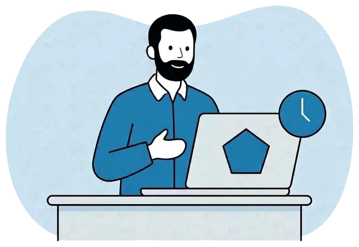
Hours lost to re-typing
Geologists write their notes on paper in the field, then type them again at camp in the evening. Skilled time goes into data entry, and every copy adds mistakes.
With FlexiMining, data is entered once, on site.


Built for Maghreb & West Africa
Capture once in the field. Decide faster in the office.
Saved offline, syncs when signal returns
FlexiMining brings your permits, your field teams and your geology into one place. Geologists record data on site, even with no signal, and managers follow every permit, deadline and result without chasing spreadsheets.
The problem
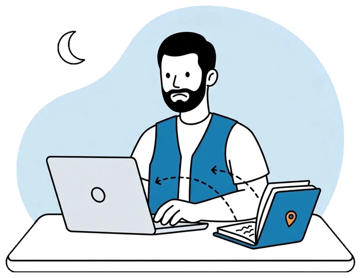
Permits tracked in spreadsheets. Field notes on paper. Files spread across Drive and WhatsApp. None of it talks to the rest, and every gap between tools costs you time, money and sometimes a permit.
Geologists write their notes on paper in the field, then type them again at camp in the evening. Skilled time goes into data entry, and every copy adds mistakes.
With FlexiMining, data is entered once, on site.
The same permit sits in the ERP, a spreadsheet, a shared folder and a chat thread, and the versions rarely agree.
One permit file that everyone works from.
The GPS gives one format and the Moroccan authorities expect another. Converting by hand in Excel is where the costly boundary mistakes come from.
Coordinates converted for you, in the format the authority expects.
Renewals and administrative steps hide in inboxes and spreadsheets until they are already late.
Reminders before every deadline, and a calendar that fills itself.
What it does
FlexiMining is designed around the way exploration companies really work. Each team gets tools made for its job, and every team shares the same data.
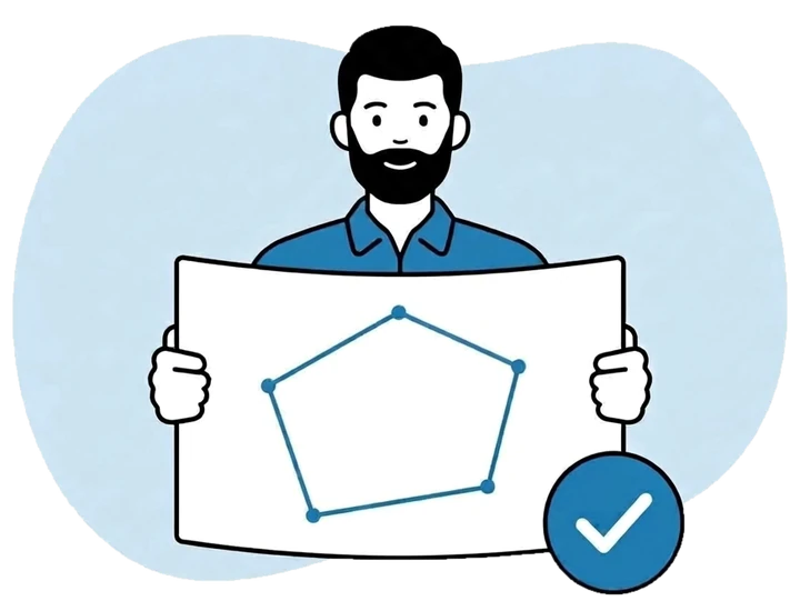
Each permit has its own complete file: boundaries, overlaps with neighbours, administrative steps, deadlines and history. You are warned before anything falls due.
Every licence stays compliant and ready for an audit.
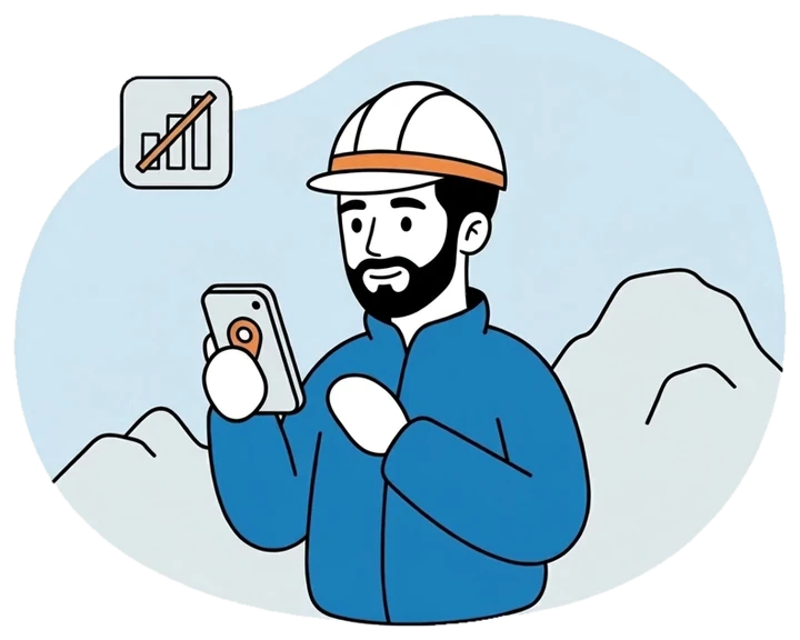
Geologists record points, photos, samples and signatures on site, with or without signal. GPS and Lambert coordinates are saved automatically.
Field notes are typed once, and a day in a zone without coverage is never lost.
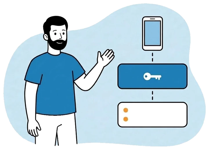
Finance, HR, team chat and the mobile app share one login and one set of permissions, so everyone works from the same information.
Fewer subscriptions to pay for, and one system that agrees with itself.
How it works
From the first licence application to the resource estimate, each stage of the work happens in FlexiMining: paperwork, field campaigns, lab results, spending and compliance.
01
Prepare your company documents and the permit application, with a checklist that shows exactly what is still missing.
02
Once it is granted, the project, the permit and all its administrative steps are set up for you.
03
Plan missions and record what you find on the ground: rocks, minerals, samples, photos, trenches and drill holes.
04
Import lab results from Excel. Each result lands on the exact sample it came from, and the picture builds up in 3D.
05
Tonnage, grades, recommendations, spending and compliance deadlines, side by side, with the full history behind them.
Coordinates
A point entered in the wrong zone can land tens of kilometres away and get a filing rejected. FlexiMining converts every position for you, the same way every time.
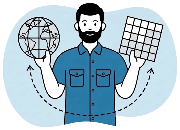
Elevation is converted along with the position, so the heights on your filings match what your surveyors expect.
On the phone, on the web or through an Excel import, every coordinate uses the permit’s own Lambert zone. Your team types the numbers and never has to choose the zone, which removes the most common survey mistake.
Old way vs. FlexiMining
What you pay for is geologist time won back, and one system to maintain instead of several.
The old wayA generic project record, with the boundaries in a spreadsheet
With FlexiMiningA complete permit file with boundaries, overlaps, steps, deadlines and history
The old wayPaper notes, re-typed at camp in the evening
With FlexiMiningCaptured on the phone on site, with photos and samples, and synced automatically
The old wayConverted by hand in Excel, with errors that get filings rejected
With FlexiMiningConverted automatically and ready for the authority
The old waySend the data to expensive desktop software, then wait for a consultant
With FlexiMiningDrill holes and the deposit in 3D, on the phone and on the web
The old wayEmail threads and verbal approvals
With FlexiMiningGeologist, chief geologist and director approvals, each one on record
The old wayA shoebox of receipts sorted out at the end of the month
With FlexiMiningReceipts photographed on site, approved online, balances always up to date
The old wayERP, spreadsheets, Drive and chat, none of them connected
With FlexiMiningOne platform, one login, one set of permissions
Features
Everything below is available today, unless it is marked otherwise.
Boundaries, overlaps, assigned geologists, administrative steps and history: everything about a permit in one place.
Follow each licence application against its document checklist. When it is approved, the permit and its steps are created for you.
See early where your permits touch neighbouring titles, before it turns into a dispute.
Steps and due dates are set for each permit type, with reminders before anything runs late.
Plan field campaigns and follow them from the first day to validated results.
Record rock type, minerals, photos and samples on each point, placed precisely on the map.
Log a single point, a trench, a sampling zone or a full drill hole from the same app.
Everything is saved on the phone and syncs by itself when the connection comes back.
All your permits and field points on one map, in street or satellite view, with the figures that matter.
Satellite and terrain views, distance and area measurement, and where your teams are, right in the field.
Every permit and point you hold on the same map, company by company.
Bring boundaries and points in and out in standard formats (KML and GeoJSON), so your data stays yours.
See where each crew is, how much battery they have left and whether they are inside the permit.
Near real timeReplay where a team went and when, which is useful proof of work on a concession.
Put geologists on permits as lead or contributor. The app shows each person what they work on.
Location sharing is opt-in and can be switched off at any time.
Snap the receipt, submit the expense and get it approved online, within the limits you set.
Advances and expenses are tracked per person, so balances are always current and overspending stands out.
Geologists ask for an advance from the app, and a director or manager approves it in one step.
Dashboards and reports show amounts in your company’s own currency.
Store regulatory documents once, reuse them across applications, and get warned before they expire.
Import lab results from Excel. Each one is matched to the right sample, and anything unmatched is listed.
Standard ICP formatRecord findings and follow each one through to a decision, with the history kept.
Permits, field work, spending and teams at a glance, with expiry dates synced to Google Calendar.
Each person sees and does what their role allows, and the same rules apply on the phone and on the web.
Add an employee and their login, role and team chat are ready straight away.
Quick, secure sign-in on site without typing a password.
Conversations happen next to the data, and each chief geologist gets a private channel for the team.
Boundaries, overlaps, assigned geologists, administrative steps and history: everything about a permit in one place.
Follow each licence application against its document checklist. When it is approved, the permit and its steps are created for you.
See early where your permits touch neighbouring titles, before it turns into a dispute.
Steps and due dates are set for each permit type, with reminders before anything runs late.
Plan field campaigns and follow them from the first day to validated results.
Record rock type, minerals, photos and samples on each point, placed precisely on the map.
Log a single point, a trench, a sampling zone or a full drill hole from the same app.
Everything is saved on the phone and syncs by itself when the connection comes back.
All your permits and field points on one map, in street or satellite view, with the figures that matter.
Satellite and terrain views, distance and area measurement, and where your teams are, right in the field.
Every permit and point you hold on the same map, company by company.
Bring boundaries and points in and out in standard formats (KML and GeoJSON), so your data stays yours.
See where each crew is, how much battery they have left and whether they are inside the permit.
Replay where a team went and when, which is useful proof of work on a concession.
Put geologists on permits as lead or contributor. The app shows each person what they work on.
Location sharing is opt-in and can be switched off at any time.
Snap the receipt, submit the expense and get it approved online, within the limits you set.
Advances and expenses are tracked per person, so balances are always current and overspending stands out.
Geologists ask for an advance from the app, and a director or manager approves it in one step.
Dashboards and reports show amounts in your company’s own currency.
Store regulatory documents once, reuse them across applications, and get warned before they expire.
Import lab results from Excel. Each one is matched to the right sample, and anything unmatched is listed.
Record findings and follow each one through to a decision, with the history kept.
Permits, field work, spending and teams at a glance, with expiry dates synced to Google Calendar.
Each person sees and does what their role allows, and the same rules apply on the phone and on the web.
Add an employee and their login, role and team chat are ready straight away.
Quick, secure sign-in on site without typing a password.
Conversations happen next to the data, and each chief geologist gets a private channel for the team.
Drill holes & 3D model
Once a permit is drilled, your logs become a 3D model of the deposit that you can turn, slice and estimate, on the phone or on the web. You don’t need a Datamine or Micromine licence, or a consultant, to see what you have.
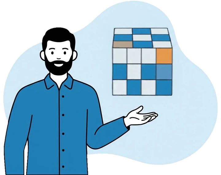
Live in your browser. Drag to turn it, scroll to zoom.
Loading the 3D model…
Above cut-off
Indicative estimate, 20 m blocks
The 3D module gives an indicative, in-house estimate to guide exploration decisions. It is not a certified resource statement (JORC or NI 43-101), and a qualified person should review the figures before any external or financial use.
The model stays inside your permit boundary and the depth you have actually drilled. Nothing is invented beyond your data.
What you can do with it
Collars, surveys, rock logs and assays for every hole, attached to the permit and editable from the phone.
Inclined holes follow their true path underground, so every sample sits where it was actually taken.
Grades are estimated across the deposit with the methods geologists already use and trust.
Set your cut-off grade and watch tonnage, average grade and contained metal update straight away.
Each model is saved as a version you can come back to and compare with another.
Bring a whole drilling campaign in from one workbook, and send it out the same way.
Roles
From the field geologist to the finance manager, each person gets the screens and permissions their job calls for, on the phone and on the web.
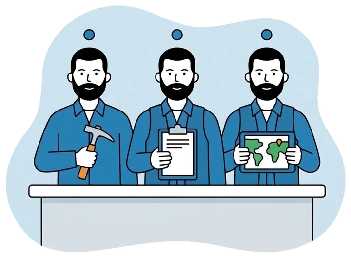
Works in the field: assigned permits and missions, points, samples, photos, the map and their own expenses.
Everything a geologist does, plus planning and validating missions, assigning the team and seeing where everyone is.
The full picture across every company: permits, approvals, spending, reports and the 3D model.
Looks after permits, deadlines and spending for their companies and approves expenses. Sees the geology without editing it.
Reviews permits, maps, geology and the 3D model for academic or advisory work, without changing anything.
Submits field expenses with their receipts and follows their own balance.
Approves spending, releases funds and follows every balance, with overspending flagged.
Who can do what
| What they can do | Geologist | Chief geol. | Director | Admin. mgr. | Finance |
|---|---|---|---|---|---|
| See permits | Their own | Whole company | All companies | Their own | No |
| Edit permit details | No | Yes | Yes | Yes | No |
| Create missions | No | Yes | Yes | No | No |
| Add exploration points | Yes | Yes | Yes | View only | No |
| Drill holes & 3D model | If allowed | Yes | Yes | View only | No |
| Validate missions & steps | No | Yes | Yes | Yes | No |
| Submit expenses | Yes | Yes | Yes | Yes | Yes |
| Approve spending | No | No | Yes | Yes | Yes |
| See where teams are | No | Yes | Yes | No | No |
See permits
Edit permit details
Create missions
Add exploration points
Drill holes & 3D model
Validate missions & steps
Submit expenses
Approve spending
See where teams are
Permissions are defined once, in FlexiERP, and apply the same way on the phone and on the web. The app can never show someone more than their role allows.
If you run several companies, each person works in the company they select and sees only its permits, teams and spending. Directors can see them all.
Why FlexiMining
Most business software treats a mining permit as just another project. FlexiMining is built around it.
Permits, applications, overlaps and administrative steps are built in, so your demo starts with your own permits instead of a setup screen.
It works offline, unlocks in a second and puts GPS and photos on every point. Field notes are typed once.
Every point is kept in GPS and Lambert with its altitude, so filings go through the first time.
Model the deposit, its tonnage and its contained metal on the phone or in the browser, with no separate desktop licence to buy.
Finance, HR, chat and field work share one login and one set of permissions. That is one system to buy, secure and support.
A generic ERP, spreadsheets, a project tool, a standalone GIS or an in-house build can each cover part of the job. None of them is built around the permit, and none connects the field to the office.
Who it is for
We would rather tell you now than after the demo.
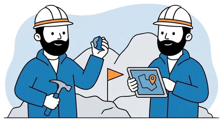
FlexiMining is built for the Maghreb (Morocco, Tunisia, Algeria) and West Africa. Morocco works out of the box, Lambert zones included. The platform speaks French, English and Arabic, and coordinate systems for other countries can be added on request.
Pricing
There are no per-user fees and no free tier. The price follows the size of your operation: how many permits you manage and how many people use the platform.
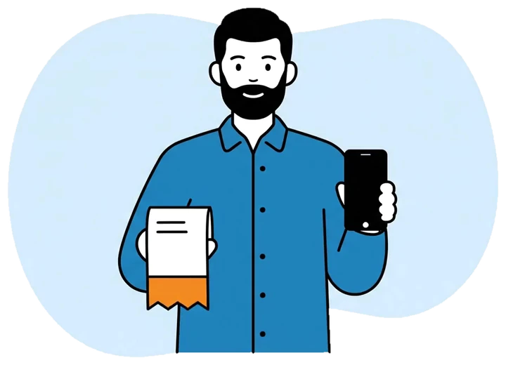
A fixed fee for your scope, set by your number of permits and users.
Yearly: updates, security fixes, support on business days and proactive monitoring.
One-time: installation, your permits and cadastre loaded in, and training for your team.
Quoted in days when you need something specific, such as another country’s coordinate system.
Book a 30-minute call and we set up a trial space for two to three weeks, loaded with your real permits. You see your data, your coordinates and your field workflow on screen.
Host it on your own servers or on a cloud you choose. Your data is never shared with other customers, you can export all of it in standard formats, and any custom work belongs to you.
Prices depend on your region and scope, so there is no public price list. Talk to us for a quote based on your permits.
FAQ
Those are general business tools, and they typically cost ten to fifty times more to adapt to mining. FlexiMining is built for exploration from the start, so you pay only for what mining needs and the demo opens on your own permits.
Yes. Points, photos, samples and expenses are saved on the phone and sync automatically when the connection returns. If the same record changed in two places, you choose which version to keep.
GPS and both Moroccan Lambert zones, north and south, with altitude, all converted automatically. Other countries can be added on request.
Not for day-to-day exploration modelling: FlexiMining builds the 3D model, the tonnage and the contained metal itself. For an official resource statement (JORC or NI 43-101), you still need a qualified person to sign it off.
On your own servers or on a cloud you choose. It is never shared with other customers, you can export all of it at any time, and custom work stays yours.
Each person always works under their own account and role, and permissions are checked by the server rather than just hidden in the app. There is no shared master account behind the scenes.
In under 60 days for a standard setup: one to five permits, up to about 30 users, in a country we already cover. Larger projects are planned with you.
We are a young product, and we won’t promise references we can’t give. Instead, we load your own permits into a trial space, which tells you far more than someone else’s logo would.
No, and we don’t sell it that way. Everything works in a predictable, proven way. Smart assistance features are on the roadmap.
Next step
Book a 30-minute call. We set up a trial space with your real permits, your coordinates and your field workflow, and you decide from there.